Brooklyn Heights Promenade
A walkway on the roof of a highway, with a view of Manhattan protected by law
The story
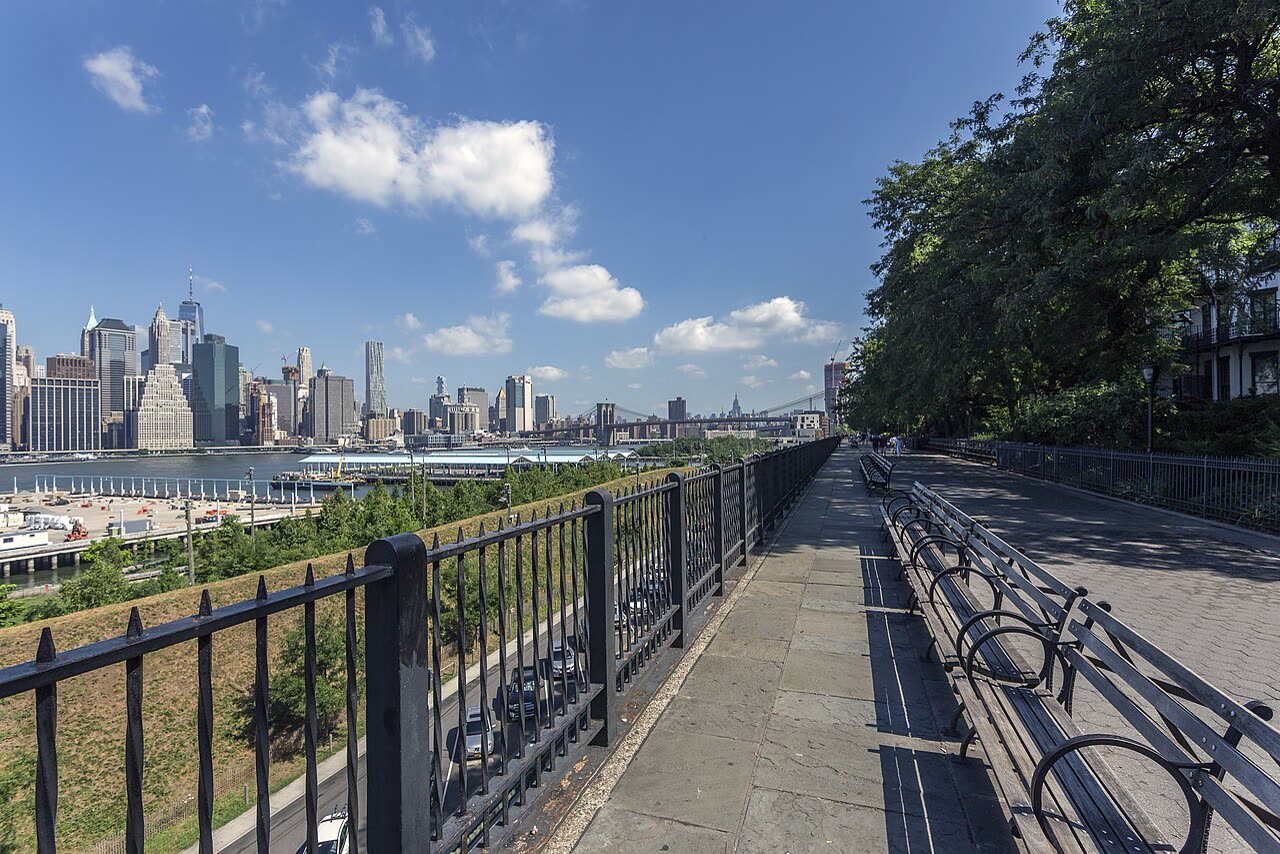
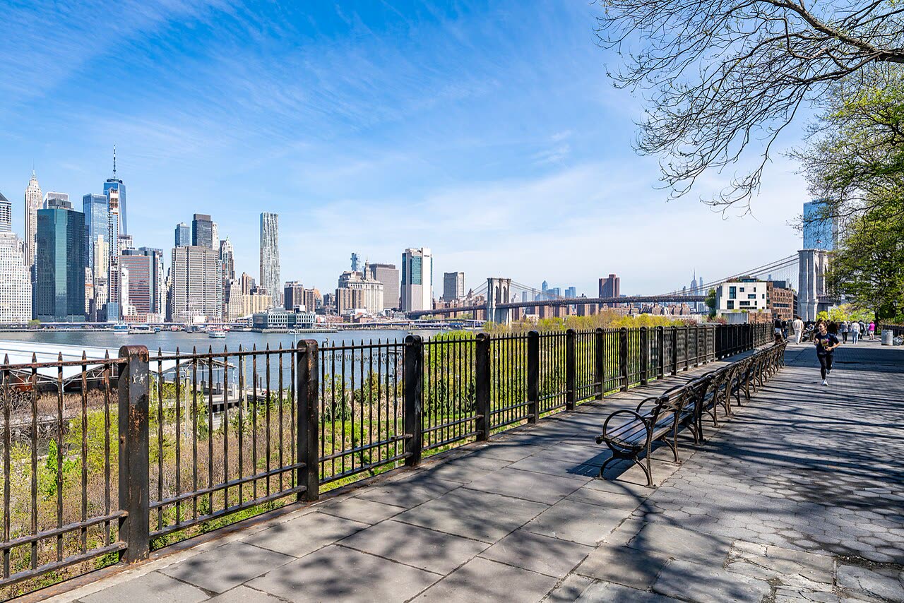
Before you is the Brooklyn Heights Promenade, a terrace about 1,826 feet long. Right below you runs the Brooklyn–Queens Expressway. It is built in tiers, one above the other, and the promenade sits on top like a roof. It came about because of a fight. In 1941 Parks Commissioner Robert Moses proposed running the highway straight through Brooklyn Heights. Residents feared it would cut the neighborhood in two. They won a route along the edge of the bluff above the river instead. That is when the plan arose to cover the highway with a public walkway. The warehouses below were torn down. The southern half of the promenade opened on the seventh of October 1950, the northern half on the seventh of December 1951. The highway itself only opened in 1954. In 1953 the Port Authority wanted to put up warehouses across the way that would rise above the promenade. Residents held a stormy meeting, and that same year the city limited the height of buildings. Then in 1974 the city adopted a special rule. In front of the promenade runs an invisible line, and nothing may be built above it. The law protects the panorama of Lower Manhattan, the Brooklyn Bridge, the Statue of Liberty, and Governors Island. According to reference sources, no other view in New York is protected this way. The promenade has appeared in many films, among them “Moonstruck.”
Visiting
Brooklyn Heights, from Remsen Street to Orange Street. Entrances are at the ends of Remsen, Montague, Pierrepont, Clark, Pineapple, and Orange Streets and from Pierrepont Place. Free and open to all. The nearest subway station is Clark Street. The highway below is being repaired, so some sections may be closed.
Photos
Sources
- Wikipedia — Brooklyn Heights Promenade
- NYC Department of City Planning — Zoning Resolution: Special Scenic View District
- Brooklyn Bridge Park — Empire Stores
This text was written by AI from open sources. Found a mistake? Write to us. Support