Billy Goat Trail, Section A trail
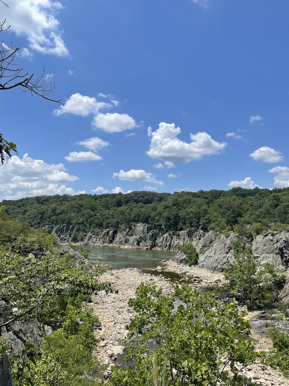
The best-known rock scramble near Washington. It crosses Bear Island above Mather Gorge on the Potomac River: angled rocks, boulders and climbs where you need your hands. The loop starts at Great Falls Tavern: south on the towpath along the canal, then Section A downstream, and back on the towpath.
- Where
- Great Falls, Maryland, USA
- Length
- 3.7 miles (6 km), loop
- Time
- 2–3 h on the rocks, plus about 40 min on the towpath
- Difficulty
- hard
- Route
- loop
- Difficulty colour
- red run
- Up and down
- ↑ 61 m · ↓ 63 m
Colours work like ski runs and match the app: they come from the length, the climbs and the steepness. Highest point: 48 m.
Where to start
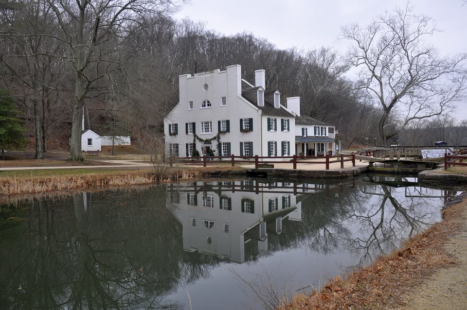
Great Falls Tavern, the visitor center of the Chesapeake and Ohio Canal park: 11710 MacArthur Boulevard, Potomac, Maryland, northwest of Washington. Park by the tavern. From there it’s about half a mile south on the towpath to the start of Section A.
Before you go
Section A often closes when the Potomac rises. Before you go, check current conditions at nps.gov/choh/planyourvisit/conditions.htm or call the tavern: +1 301-739-4200.
The National Park Service rates the trail technical and strenuous: you have to scramble over angled rocks and boulders. It is not recommended for inexperienced hikers, families with small children or people in less than good health. Wear sturdy, broken-in shoes.
Hike one way only, downstream, to the south. Pets are not permitted on Section A.
Bring at least 2 liters (64 oz) of water per person. There may be no cell service on the trail. There are over 400 rescues a year on the Billy Goat Trail.
Don’t enter the river: swimming brings a fine, and the rocks at the water’s edge are very dangerous. The park closes at dark, so plan to be back before sunset.
There is an entrance fee in the Great Falls Tavern area. Cash is not accepted, only cards.
Facts checked on 31.10.2026.


Sources
- National Park Service — Billy Goat Trail, Section A (1.75 miles one way, 2–3 h, technical and strenuous; flood closures; over 400 rescues a year)
- National Park Service — Great Falls hiking trails map with descriptions: a 3.7-mile loop via the towpath, Bear Island, park regulations
- National Park Service — C&O Canal current conditions: Section A open (October 27, 2026), the tavern at mile 14.3, the start of Section A at mile 13.8
- National Park Service — entrance fees: only in the Great Falls Tavern area, cash not accepted
- National Park Service — Crommelin House: the locktender’s house, a hotel from 1831
- National Park Service — Mather Gorge: a river about 100 feet wide, about 30,000 years old
- Wikipedia (EN) — Chesapeake and Ohio Canal: 184.5 miles, 1828–1850, 74 locks, closed in 1924
- Wikipedia (EN) — Billy Goat Trail: three sections, laid out in 1919
- OpenStreetMap — “Billy Goat Trail Section A”, hiking route