Great Blue Hill trail
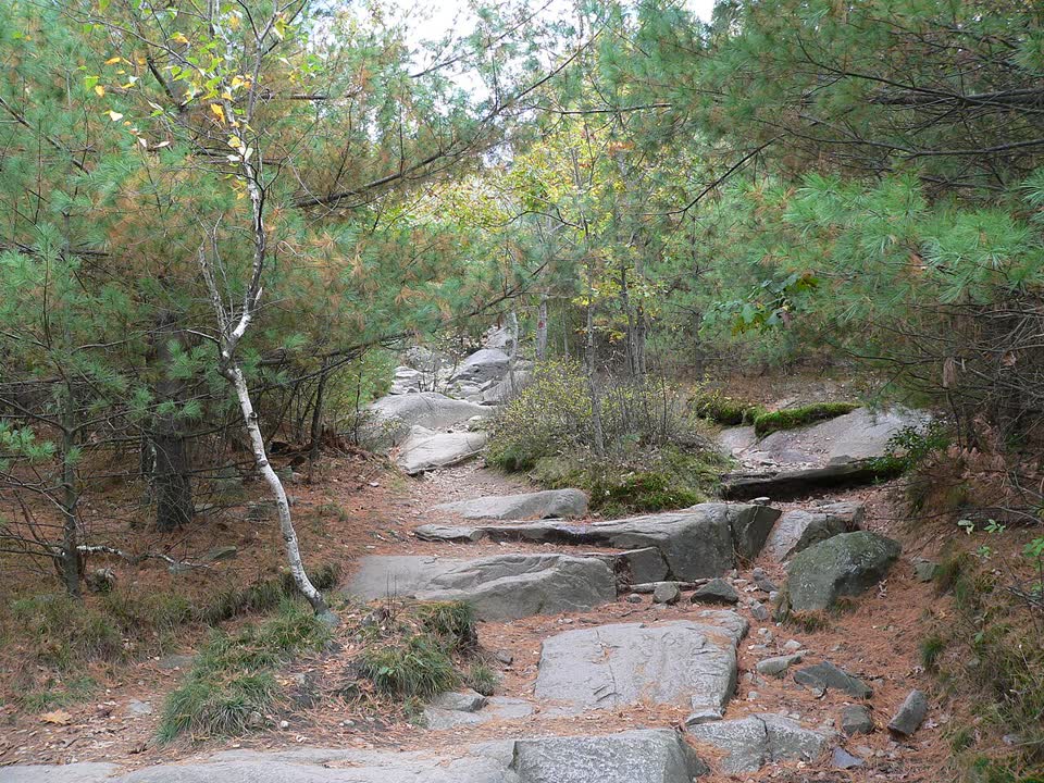
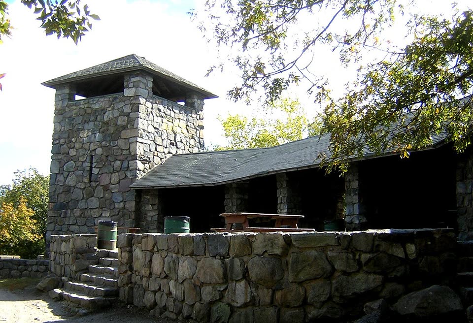
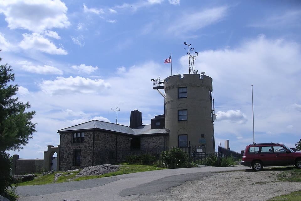
A short, steep climb up the highest hill in Greater Boston, south of the city. The Red Dot Trail runs from the Trailside Museum over rocks and roots to the stone Eliot Tower, with views of Boston and the harbor. Across the summit to the weather observatory, which has been recording the weather since 1885. Back the same way.
- Where
- Blue Hills Reservation, Milton, Massachusetts, USA
- Length
- about 1.6 miles (2.5 km) round trip
- Time
- 1–1.5 h
- Difficulty
- moderate
- Route
- out and back
- Difficulty colour
- red run
- Up and down
- ↑ 117 m · ↓ 115 m
Colours work like ski runs and match the app: they come from the length, the climbs and the steepness. Highest point: 191 m.
Where to start
The south parking lot of the Trailside Museum: 1904 Canton Avenue (Route 138), Milton. Without a car: the Red Line to Ashmont, the trolley to Mattapan, then bus 716 to the stop by the museum.
Before you go
Time and difficulty follow the Department of Conservation and Recreation (DCR) description of the Red Dot Trail to the tower and back: 1.32 miles (2.1 km). With the detour across the summit to the observatory, it is about 2.5 km and a little more time. The path on the map follows OpenStreetMap lines, about 1.2 km one way.
The trail is steep and rocky. It is marked with red dots, so stay with them.
The reservation is open every day from dawn to dusk. Dogs on leash only.
Timber rattlesnakes and copperheads live in the reservation. Both are protected: leave them alone and watch where you put your hands on the rocks.
According to Mass Audubon, bus 716 does not run on Sundays and holidays. Schedule: mbta.com.
Facts checked on 31.10.2026.


Sources
- Massachusetts Department of Conservation and Recreation (DCR) — Blue Hills color-coded trails: Great Blue Hill Red Dot, from the kiosk at the Trailside Museum south lot, 1.32 miles round trip, 1–1.5 h, moderately strenuous, rocky
- OpenStreetMap — the Red Dot Trail line from the museum’s south lot to the tower at the summit
- Friends of the Blue Hills — Great Blue Hill: the Red Dot Trail from the Trailside Museum, marked by red dots; Mount Monadnock visible on a clear day
- Mass Audubon — Blue Hills Trailside Museum, directions: Red Line, Mattapan trolley, bus 716
- DCR — Blue Hills Reservation: open dawn to dusk, dogs on leash only
- Wikipedia — Great Blue Hill: 635 feet, the name, the Massachusett people, snakes
- Wikipedia — Blue Hills Reservation: about 7,000 acres, since 1893, Trailside Museum
- Blue Hill Observatory & Science Center — the longest continuous weather record in North America, tours