Lands End trail
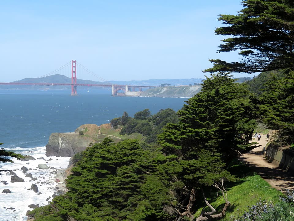
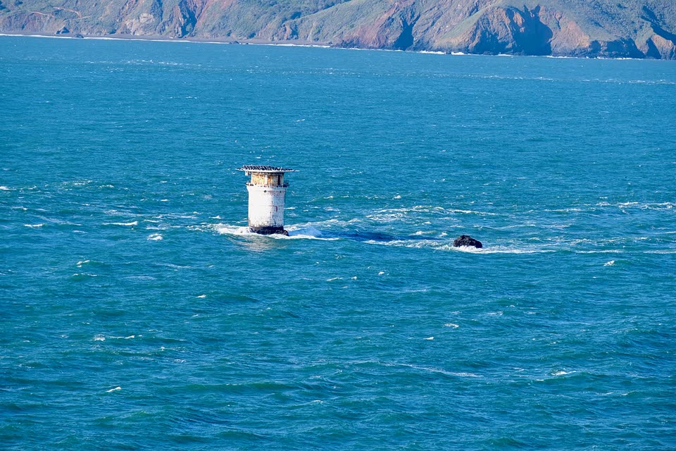
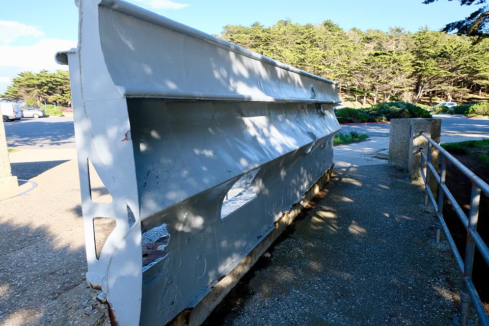
A coastal trail on the northwestern corner of San Francisco. From the visitor center above the ruins of the Sutro Baths, past the USS San Francisco Memorial and the overlook above Mile Rocks Light, to Eagle’s Point, with its view of the Golden Gate Bridge. The trail follows the bed of an old railroad, through cypress and eucalyptus. Back the same way.
- Where
- San Francisco, USA
- Length
- 2.9 miles round trip
- Time
- 1.5 h
- Difficulty
- easy
- Route
- out and back
- Difficulty colour
- green run
- Up and down
- ↑ 97 m · ↓ 97 m
Colours work like ski runs and match the app: they come from the length, the climbs and the steepness. Highest point: 83 m.
Where to start
The Lands End Lookout visitor center at Point Lobos Avenue and Merrie Way. Free parking, restrooms and a café are next door. Muni bus 38 to the stop “48th Ave & Point Lobos Ave”, then about 1,000 feet on foot. In the daytime not every bus on this line goes there: check sfmta.com.
Before you go
Length from the National Park Service description: 2.9 miles round trip from Merrie Way. The time is our estimate; the description does not give one. The path on the map is built from OpenStreetMap paths: about 1.5 miles one way, with a detour to the cruiser memorial.
Up to Mile Rock Overlook the path is level and wheelchair accessible. Farther on there are several long flights of stairs. Bikes can go only as far as the Eagle’s Point steps.
The bluffs are loose, eroding sand and rock. Stay on the trail and do not climb the slopes. Near Eagle’s Point the rocky cliffs can be treacherous and windy.
You can also walk it one way: from Eagle’s Point to the 1 Muni bus at the stop “32nd Ave & California St” is about a third of a mile.
Facts checked on 31.10.2026.


Sources
- National Park Service — Lands End Trailhead: the 2.9-mile out-and-back Coastal Trail, a level path to Mile Rock Overlook, free parking
- National Park Service — Eagle Point Trailhead: the trail on the old railroad bed, 1.7 miles one way, stairs, eroding bluffs
- National Park Service — Lands End: Point Lobos, Sutro Baths, the cruiser memorial (45 hits and 25 fires), Harris vs. Sutro in 1897
- National Park Service — Sutro Baths: the history of the baths, 1894–1966
- National Park Service — Steaming Down the Track: the steam railroad to Lands End
- SFMTA — “A Line to Land’s End: San Francisco’s Lost Scenic Railway”: the line of 1889–1925
- SFMTA — 38 Geary: the 48th Ave & Point Lobos Ave stop
- SFMTA — 1 California: the 32nd Ave & California St stop
- OpenStreetMap — “California Coastal Trail”: the section at Lands End