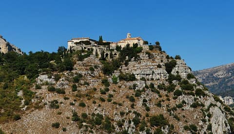
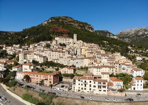
Start of the Cavillore Plateau Trail
The start of a loop over the limestone plateau above Gourdon
The story
Above Gourdon lies the Plateau de Cavillore, limestone at about a thousand meters. Over the centuries water dissolved the rock and left its marks here: shafts called avens, round sinkholes, and slabs cut by grooves. On the plateau there are a straight Roman road, the remains of fortified hilltop settlements, and the former Saint-Vincent priory. The coast lies almost a thousand meters below. Paragliders and cavers love the plateau. Since 2012 Gourdon has been part of the Préalpes d’Azur regional nature park. The trail first follows the long-distance trail GR 51, then yellow waymarks zigzag up to the eastern Cavillore pass.
On the trail
- Plateau de Cavillore — 5.7 km, 3 h
Sources
- Randoxygène, Alpes-Maritimes Department — “Plateau de Cavillore” (5.7 km, loop, +300 m, 3 h, easy)
- Wikipédia (FR) — Gourdon (Alpes-Maritimes): the Saint-Vincent chapel, first mention in 1035
This text was written by AI from open sources. An expert will still check it. Found a mistake? Write to us. Support