Plateau de Cavillore trail
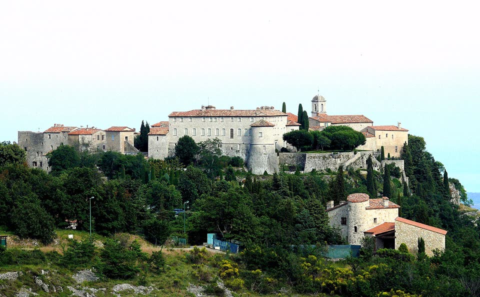
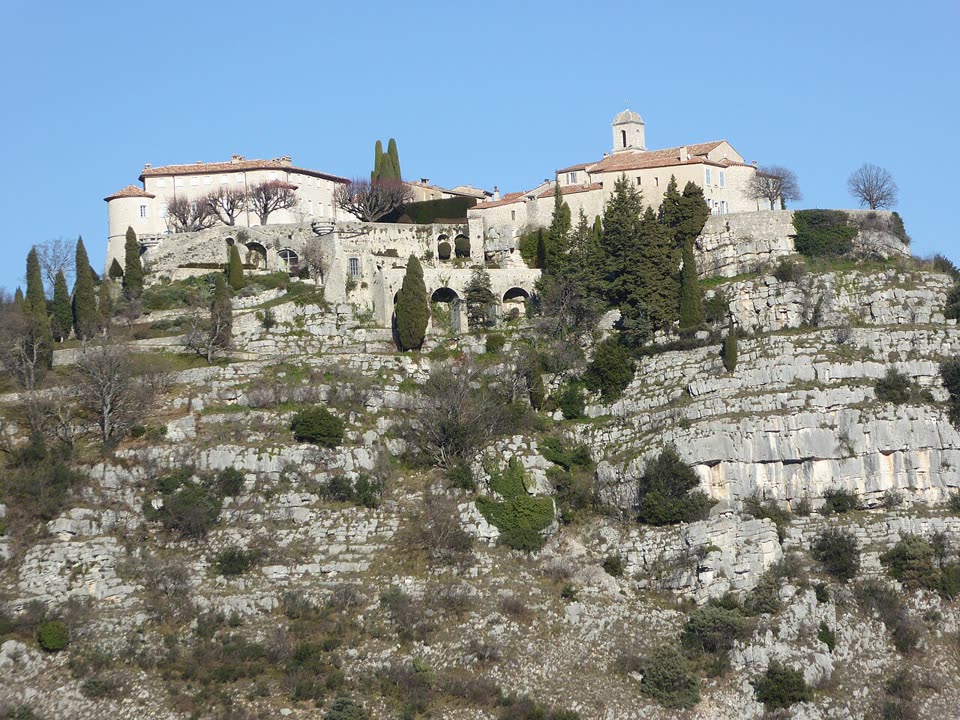
A loop from Gourdon onto the limestone plateau above the village. The trail zigzags up to a pass at about 1,030 meters, passes karst shafts and crosses stone slabs, then goes down an old road to the Saint-Vincent chapel. From the plateau the coast lies almost a thousand meters below.
- Where
- Gourdon, France
- Length
- 5.7 km
- Time
- 3 h
- Difficulty
- easy
- Route
- loop
- Difficulty colour
- red run
- Up and down
- ↑ 306 m · ↓ 306 m
Colours work like ski runs and match the app: they come from the length, the climbs and the steepness. Highest point: 1034 m.
Where to start
The free parking area at the entrance to Gourdon, about 740 meters above the sea, below the castle. Zou! bus 652 Grasse – Gréolières, stop “Gourdon”; it may not run all year.
Before you go
Length, time and ascent follow the department’s description (route no. 34). The path on the map follows OpenStreetMap lines, about 6 km.
There are open karst shafts near the trail. Stay on the trail and keep children close.
The plateau is open, with almost no shade. In summer, set out early and bring water.
From mid-June to mid-September, access to the forests of the Alpes-Maritimes depends on the daily fire risk map by commune: risque-prevention-incendie.fr/alpes-maritimes. On a “red” day, entering the forest is banned.
Facts checked on 31.10.2026.

Sources
- Randoxygène, Alpes-Maritimes Department — “Plateau de Cavillore” (5.7 km, loop, +300 m, 3 h, easy)
- OpenStreetMap — “Plateau de Cavillore”, Alpes-Maritimes Department route no. 34
- Wikipédia (FR) — Gourdon (Alpes-Maritimes): the Saint-Vincent chapel, first mention in 1035
- Alpes-Maritimes Prefecture — order 2025-101: summer access to forests according to the risk map for each commune (summary, May 2025)
- Daily fire risk map by commune for the Alpes-Maritimes