Pont des Tuves trail
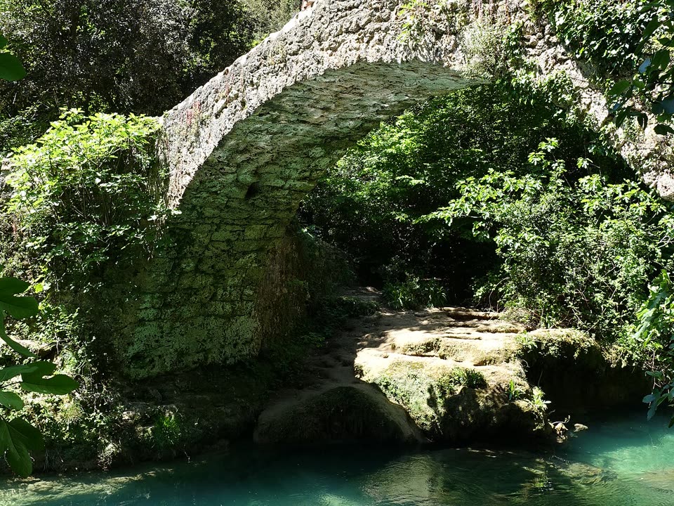
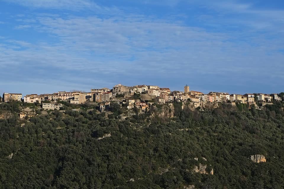
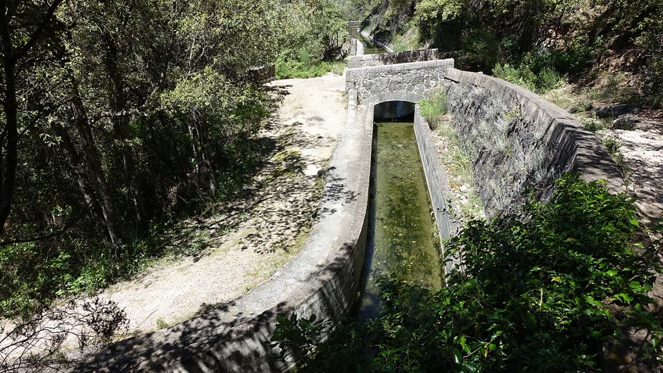
A descent from Saint-Cézaire-sur-Siagne to an old stone bridge over the Siagne, and back the same way. The trail follows a paved path through olive trees, crosses the Canal de la Siagne and comes out by the turquoise river at the bottom of the gorge. On the way back you climb about 320 meters.
- Where
- Saint-Cézaire-sur-Siagne, France
- Length
- 5 km there and back
- Time
- 2 h 30 min
- Difficulty
- easy
- Route
- out and back
- Difficulty colour
- red run
- Up and down
- ↑ 351 m · ↓ 351 m
Colours work like ski runs and match the app: they come from the length, the climbs and the steepness. Highest point: 483 m.
Where to start
The parking area in the center of Saint-Cézaire-sur-Siagne, about 480 meters above the sea, near the Fontaine aux Mulets. From Grasse, Sillages bus B to the stop “Saint-Cézaire Centre.”
Before you go
Length, time and ascent follow the department’s description. The path on the map is built from OpenStreetMap tracks: about 2.2 km one way.
The trail first follows the GR 510 waymarks, then yellow ones. The descent is stony, and it is slippery by the water and near the waterfall.
Upstream there is an EDF hydro plant: the river can rise at any moment, even in good weather. Stay on the bank.
Beyond the bridge is the Var department. In summer, access to its forests follows the Var risk map: risque-prevention-incendie.fr/var.
From mid-June to mid-September, access to the forests of the Alpes-Maritimes depends on the daily fire risk map by commune: risque-prevention-incendie.fr/alpes-maritimes. On a “red” day, entering the forest is banned.
Facts checked on 31.10.2026.


Sources
- Randoxygène, Alpes-Maritimes Department — “Pont des Tuves ou des Gabres” (5 km there and back, +320 m, 2 h 30, easy)
- Pays de Grasse Tourist Office — “Gorges de la Siagne et pont des Gabres”: a bridge of 1802 with two names
- Estérel Côte d’Azur, official routes — “Le pont des Tuves” from the Montauroux side: restored in 1978
- EDF — leaflet on the hydro plants near Saint-Cassien: water may be released into the river at any time
- Wikipédia (FR) — Siagne: length, source, department border
- Wikipédia (FR) — Canal de la Siagne: the decree of 1866, the intake at Saint-Cézaire
- Daily map of access to the forest areas of the Var department (colors: green, yellow, orange, red, black)
- Alpes-Maritimes Prefecture — order 2025-101: summer access to forests according to the risk map for each commune (summary, May 2025)
- Daily fire risk map by commune for the Alpes-Maritimes