Val de Siagne trail
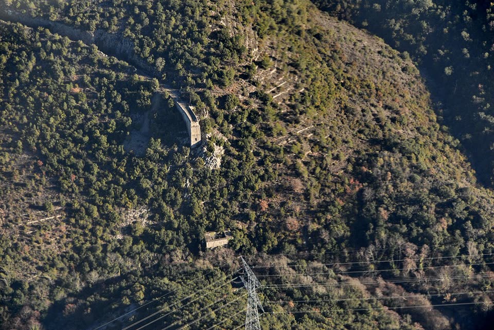
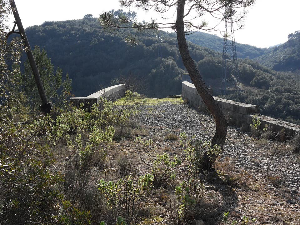
A loop from Le Tignet down to the Siagne river. The trail descends through the woods, follows the left bank on an old road past the huge piers of a ruined railway viaduct, crosses a ravine and climbs back through a chestnut wood.
- Where
- Le Tignet, France
- Length
- 6.8 km
- Time
- 3 h
- Difficulty
- moderate
- Route
- loop
- Difficulty colour
- red run
- Up and down
- ↑ 244 m · ↓ 245 m
Colours work like ski runs and match the app: they come from the length, the climbs and the steepness. Highest point: 250 m.
Where to start
The parking area by the school in the L’Istre quarter of Le Tignet, about 250 meters above the sea. Sillages bus C, stop “Domaine de l’Istre.”
Before you go
Length, time and ascent follow the department’s description (route no. 30, yellow waymarks).
The department warns that the stretch along the Siagne can be difficult when the river is high. Do not linger under the weakened viaduct pier.
EDF works operate on the Siagne: the water can rise at any moment. Do not go down into the riverbed.
Hunting season runs from September to December, so wear bright clothing.
From mid-June to mid-September, access to the forests of the Alpes-Maritimes depends on the daily fire risk map by commune: risque-prevention-incendie.fr/alpes-maritimes. On a “red” day, entering the forest is banned.
Facts checked on 31.10.2026.



Sources
- Randoxygène, Alpes-Maritimes Department — “Val de Siagne” (6.8 km, loop, +230 m, 3 h, moderate)
- OpenStreetMap — “Val de Siagne”, Alpes-Maritimes Department route no. 30
- Wikipédia (FR) — Ligne Central-Var: the section to Grasse opened in 1890, the Siagne viaduct, closure in 1950
- Pays de Grasse Tourist Office — Le Tignet
- EDF — leaflet on the hydro plants near Saint-Cassien: water may be released into the river at any time
- Alpes-Maritimes Prefecture — order 2025-101: summer access to forests according to the risk map for each commune (summary, May 2025)
- Daily fire risk map by commune for the Alpes-Maritimes